Eyes have been trained on climate change headlines as of late with increasingly volatile weather sweeping across America. From the wildfires of the West to wind-whipping hurricanes to the South and the ever-present threat of rising oceans to the lowest-lying cities, climate change is doubling down and altering reality as we know it. But for many years, there’s been a quiet problem trickling from the highest elevations down to the bays and out into the ocean. Water wars between states have impacted the flow of streams and rivers, and the fragility of our watershed areas has become all the more pronounced.
How it Works

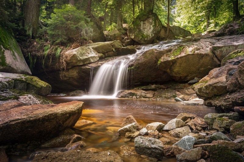
Rainfall and snowmelt gradually work their way down to the lowest points of the Earth. That water trickles along creeks and rivers until it ultimately ends up flowing into the ocean. The only exceptions are water that is diverted for people to use or that ends up in a completely closed lake. All else is pulled toward the ocean. However, the amount of water that flows through the rivers and streams and what it takes with it to the ocean is what causes major problems.
In a functioning watershed area, streams and rivers help reduce pollution that could flow downstream into lakes, bays, and eventually the ocean. When certain nutrients like nitrogen or phosphorus are delivered and released too far downstream and in excess, it triggers responses such as algae blooms. These blooms can kill wildlife or food sources for wildlife resulting in dead zones. The Chesapeake Bay with its complex watershed system is just one example of an area at risk. In Delaware, nearly 200,000 acres of wetlands could be destroyed without the proper protection from dumping pollutants according to the Chesapeake Bay Foundation. The effects would also be seen in Maryland, Pennsylvania, and Virginia anywhere the water flows.
It’s Vital for Balancing Brackish Waters

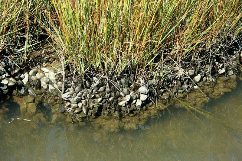
Just as the ocean is vulnerable to an excess of pollutants and nutrients washing downstream, bays are vulnerable as well. Bays are made up of brackish water that is a combination of both saltwater from the ocean and freshwater deposited from streams and rivers. When too much or too little fresh water is delivered all the way downstream through the watershed and into the bays, it affects the salinity of the water, according to Apalachicola Reserve.
Wildlife such as oysters heavily depends on their environment being within a certain range of salinity just as coral reefs can only tolerate warming waters to a certain level. Just like the reefs, bays with a high salinity due to a lack of fresh water flowing into the area can kill off wildlife, too, such as in Apalachicola Bay. That’s why it is important to be aware of water use — even in cities hundreds of miles away. Ultimately, all of the water used within a watershed area does have an impact on the ocean and all of the wildlife the rivers and streams support along the way down to the wetlands and bays.
What This Means for the Future
Of course, protecting waterways is important for the planet and its ecosystems. But it also benefits communities because it protects the economy as well. Places that rely on fishing, hunting, recreational sports and even farming all depend on waterways in some shape or form. Those industries translate into big bucks, too.
According to the Environmental Protection Agency, nearly $42 billion is spent each year on the fishing industry alone by around 33 million people. That money is spent on guides, trips to anglers’ dream destinations, licenses, and tons of other things to support the sport. Hunting brings in close to $2 billion each year as 2.6 million people seek to bag migratory birds which are found in wetlands.
Whether it’s to save the environment and the wildlife that depend on it or to make sure your annual fishing charter won’t get canceled, protecting waterways has never been more important. There are tons of ways to contribute such as volunteering with a local clean water organization or simply limiting water use. Organizations like Flint Riverkeeper are also well worth making a donation to as well. No matter how you get involved, everything helps as it continues to become more difficult to maintain safe habitats.


