Big Sur may have some of America’s most instantly recognizable public lands and natural treasures. From the towering mountain peaks and lush redwood forests on the inland side of Pacific Coast Highway (PCH, or Highway 1) to the pristine beaches on the coastal side of Highway 1, there’s so much to see and do throughout the region.
Since Big Sur packs so much natural beauty into 71 miles of California coastline, it might feel like a dilemma to figure out where to go. Here’s a handy guide on where to find the best outdoor exploration opportunities that Big Sur has to offer.
Here’s Why Life Feels Bigger at Big Sur
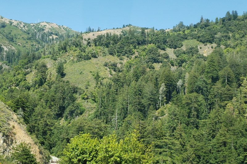
As we previously noted when we checked out America’s best beach destinations for spring break, Big Sur seems to have it all. As the longest stretch of undeveloped coastline in the lower 48 states, Big Sur offers glimpses into a different kind of coastal living than what we’re accustomed to seeing in big cities like San Francisco to Big Sur’s north, and Los Angeles to the south. Instead of wide and crowded beaches near central clusters of name-brand hotels and enclaves full of multimillion-dollar beachfront estates, Big Sur offers wide-open spaces where you can hike through verdant forests and climb down to rugged beaches that you may even have all to yourself.
So where can we find these forests and beaches? From north to south, here are some of Big Sur’s best opportunities to explore the greatest of America’s great outdoors.
Garrapata State Park
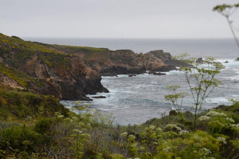
Located about 13 miles south of Downtown Monterey and eight miles south of Carmel-by-the-Sea, Garrapata State Park has hiking trails that offer plenty of serene natural beauty, yet are surprisingly close to the Monterey Peninsula. If you’re interested in hiking into the forest, look for the pullout and the tin barn past the state park signage off PCH. Here you’ll find the Soberanes Canyon trailhead, which will lead you to a 1.25-mile trail through redwood forests with incredible views of the Santa Lucia Mountains.
If you want to continue exploring the area, you can find trails on the ocean side of PCH. Painter’s Point is a great spot to sit back, relax, and perhaps even create your own work of art as you admire the picturesque coastline. If you continue south on the Soberanes Point Trail, you will eventually find the access trail for Garrapata Beach. Continue down the dirt trail if you’d like to walk the beach and enjoy this hidden gem on the northern end of Big Sur, but keep in mind that swimming here isn’t advised due to the cold water and strong rip currents.
Bixby Creek Bridge and the Brazil Trail
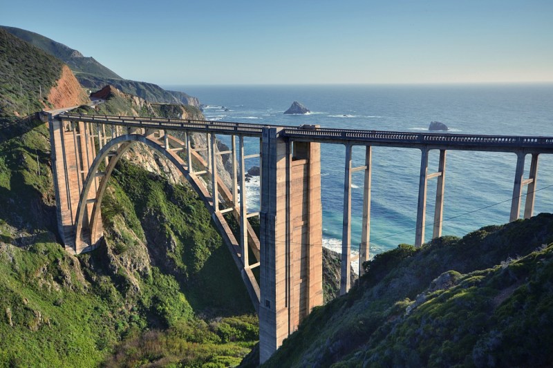
The Bixby Creek Bridge may be one of the world’s most famous bridges, so you’ll usually find quite a few tourists taking photos in the immediate vicinity. For an escape from the crowds and a prime opportunity to stretch out, continue south on PCH for another one-tenth of a mile, then look for the trailhead near the Old Coast Highway junction with Highway 1. The Brazil Ranch was founded in the late 19th century, then operated as a working ranch for nearly a century before real estate investors began to eye the area for new home development. But in 2002, the Trust for Public Land purchased the ranch in order to grant it to Los Padres National Forest.
The Brazil Ranch Trail now offers five miles of fairly challenging hiking that features amazing views of the Bixby Creek Bridge, Sierra Creek, and the ocean below. Since it’s about 15 miles south of Carmel, make sure you have your necessary supplies (such as water and sunscreen) before you get here. And since this is national forest land, you will need a U.S. Forest Service adventure pass in order to park near the trailhead.
Andrew Molera State Park
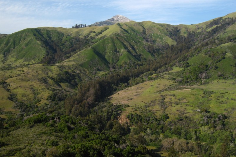
As the largest state park along the Big Sur coast, Andrew Molera State Park — located 23 miles south of Carmel — has plenty to see and do. If you want to hike inland, take the East Molera Trail near the state park entrance for a 1.8-mile journey up through switchbacks to a ridgetop featuring views of the meadows, redwoods, and coastline below. If that’s not adventurous enough, you can continue on the unofficial trail for even more jaw-dropping mountain and ocean views, but please make sure not to jump any fences or cross any boundary markers, as those probably form the border between state park land and private property.
If you prefer to stay coastal, take the Creamery Meadow Trail or the River Trail to connect to the trails that lead down to the beach. Once you reach the beach, you’ll have plenty to do. At the mouth of the Big Sur River, you’ll find one of the area’s few surfing beaches. If you continue south on the Bluffs Trail, you’ll find some remarkably remote stretches of coastline to walk, stretch out, do some beachcombing, and feel like you finally found your own private beach. If you want to stay longer, campsites are available, but make sure to reserve your spot ahead of your visit.
Julia Pfeiffer Burns State Park and McWay Falls
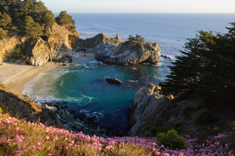
Located about 36 miles south of Carmel and 37 miles north of Ragged Point, Julia Pfeiffer Burns State Park includes another world-famous Big Sur attraction: McWay Falls. Here, McWay Creek ends and forms a waterfall that drops 80 feet from the bluff onto the beach. In order to preserve the natural environment, the beach itself is closed to the public. Nonetheless, you can hike a fairly easy trail from the parking lot to PCH, then through a tunnel under PCH to a wooden path that leads to a viewpoint where you can snap some photos that will be sure to wow your friends on Instagram.
If you really want to head down to the beach here, look for the green gate by Highway 1 where the Partington Cove Trail begins. From there, the 1.5-mile-long trail leads to a small creek to cross, a tunnel that was built in the 1880s to transport oak timber to ships at the cove, and a final path through brush and blackberry bushes that ends at the beach. It’s a small cove with a mix of sand and boulders, but it’s a nice spot to dip your feet in the ocean after a long day of hiking.
Sand Dollar Beach and Jade Cove
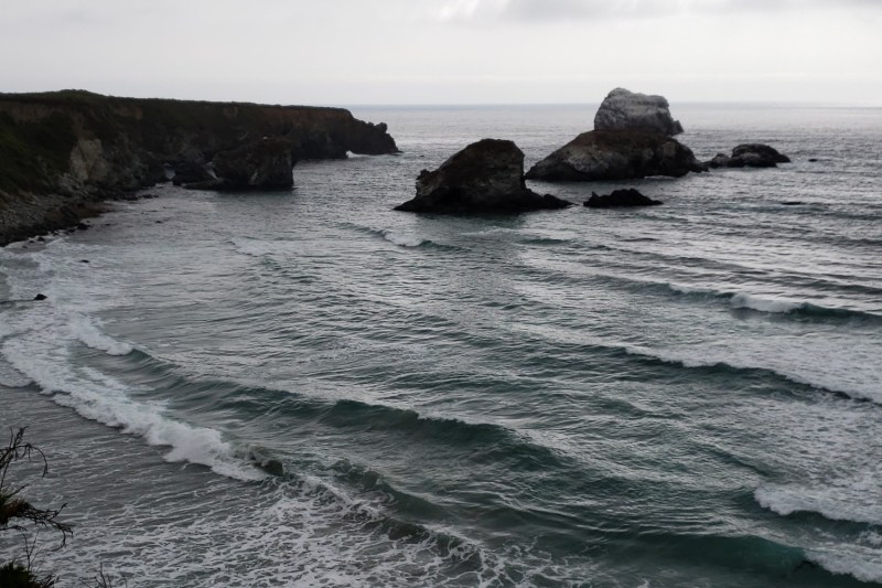
Lying along a stretch of coastline about 16 miles north of Ragged Point, Sand Dollar Beach is the area’s longest beach. The big waves make this a popular beach for surfers, but the rip currents don’t make the waters very inviting for novice swimmers. Back on land, the beach stretches out for almost a mile, though you will need to take a hike that includes a pretty steep descent in order to arrive at the beach. But once you make it to the beach, the views and the vibes are definitely worth the journey here.
If you’re into treasure hunting, check out the next beach to the south: Jade Cove. Here you can search for Monterey Jade along the scenically rocky shore, though keep in mind that only loose rocks can be collected, and that you’re only allowed to take away what you can physically carry. If you prefer hiking, Jade Cove has its own blufftop trail that offers nice views of the coast and native wildflowers, and Sand Dollar Beach connects to the longer 1.6 mile Pacific Valley Bluff Trail that’s amenable to all levels of hikers and offers great coastal views. If you’d like to stay longer, the Plaskett Creek Campground is open year-round, and it’s highly recommended to make your reservation with the U.S. Forest Service well in advance.
Ragged Point and Piedras Blancas
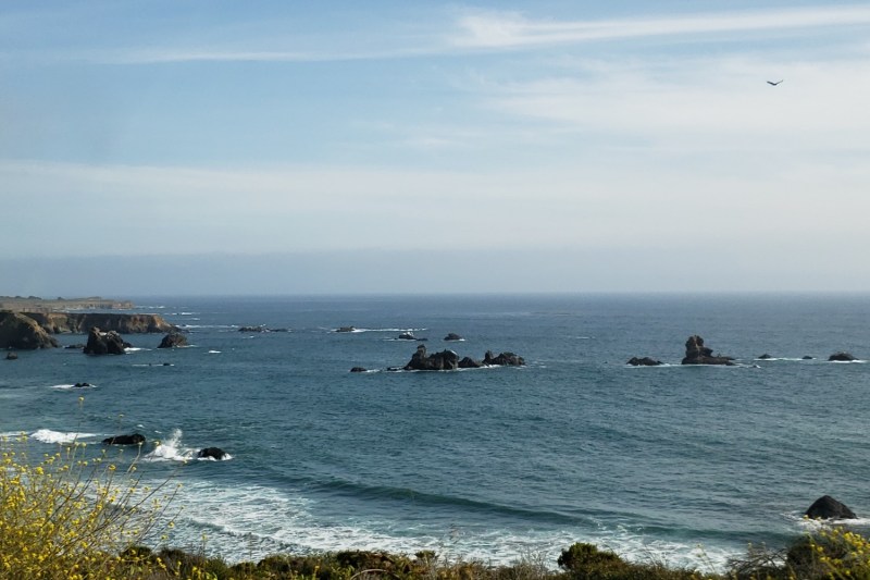
Once you cross the San Luis Obispo County Line, you’re in Ragged Point, which is about 22 miles north of Cambria and 57 miles north of the City of San Luis Obispo. Ragged Point is traditionally seen as the southern gateway to Big Sur, so here is your last chance to enjoy the sights of Big Sur. Near the Ragged Point Inn hotel is the Ragged Point Cliffside Trail, which begins at the edge of the bluff that’s known for its “million-dollar view” 400 feet above sea level, and it continues down a steep path alongside Young Creek and its waterfall until you reach Young Creek Beach.
For a more easily accessible beach, continue south on Highway 1 for another mile and a half to Hearst San Simeon State Park, stop at the pull-out parking area, then take the mile-long trail to San Carpoforo Creek Beach for prime beachcombing, surfing, and surf fishing. About nine miles south of the Ragged Point Inn, you’ll find a turn-off to a parking lot where a footpath leads to Point Piedras Blancas Beach, which is a great spot to walk the beach and check out the local elephant seal population. From here, you can also catch the Boucher Trail that connects to a lighthouse that dates back to 1875, and the trail continues all the way to the Piedras Blancas Elephant Seal Rookery, where you can admire more elephant seals at the beach from the bluff top above.


